IWC Database-Estimation and Software System
Contenu principal de l'article
Résumé
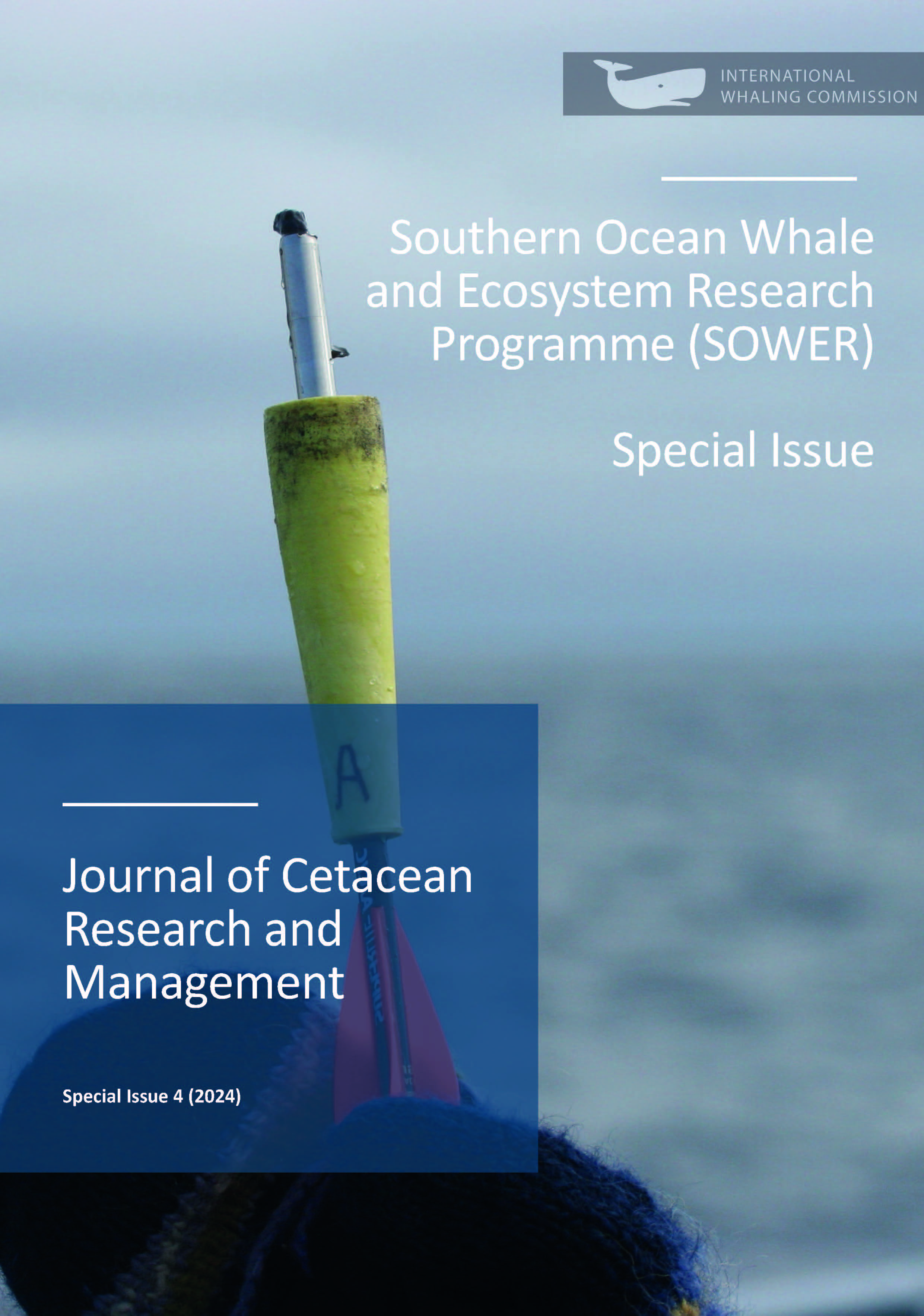
The International Whaling Commission’s (IWC) Database‐Estimation and Software System (DESS) was designed to standardise IWC line‐transect survey data storage and streamline abundance estimation, including abundance estimation by small management area to inform decision making. Not only was DESS designed to accommodate all International Decade of Cetacean Research (IDCR) and Southern Ocean Whale and Ecosystem Research (SOWER) surveys, but also national surveys, such as the Japanese surveys in the Antarctic and North Pacific, and multi‐national surveys conducted in the North Atlantic. The standard software for estimating abundance was program Distance, which could estimate abundance in designed survey blocks, however, management procedures required estimation not just in survey blocks but also in smaller regions that could be defined by the user. This added a spatial component to data selection which led to the inclusion of a geographical information system (GIS). This paper describes the data stored in DESS and the features available for data retrieval and analysis.
Details de l'article

Ce travail est disponible sous licence Creative Commons Attribution - Pas d’Utilisation Commerciale 4.0 International.
You are free to:
- Share copy and redistribute the material in any medium or format
- Adapt remix, transform, and build upon the material
- The licensor cannot revoke these freedoms as long as you follow the license terms.
Under the following terms:
- Attribution You must give appropriate credit, provide a link to the license, and indicate if changes were made. You may do so in any reasonable manner, but not in any way that suggests the licensor endorses you or your use.
- NonCommercial You may not use the material for commercial purposes.
- No additional restrictions You may not apply legal terms or technological measures that legally restrict others from doing anything the license permits.

